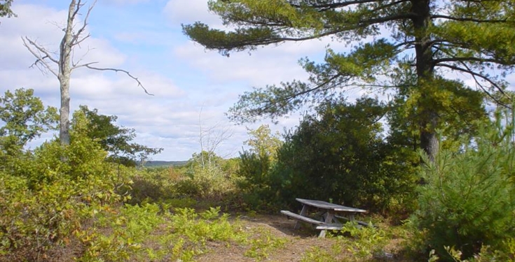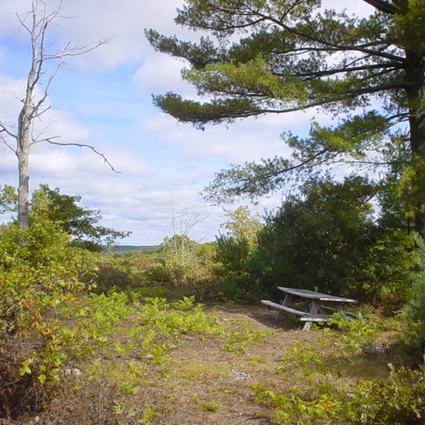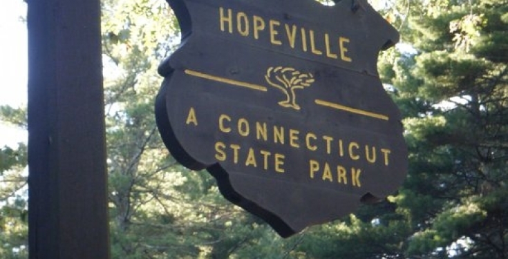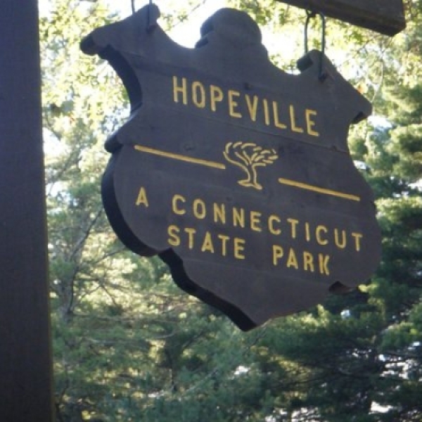
Pachaug State Forest Pachaug State Forest Pachaug State Forest Pachaug State Forest
Pachaug State Forest Pachaug State Forest Pachaug State Forest Pachaug State Forest
Address
(on Rte. 49)
Voluntown, CT 06384
United States
Contact
While You're in the Neighborhood