

Connecticut's Long Hiking Trails
Meet #CTcreator Christa Pollack and William Cirillo of Nor'Easter Exposure! CTvisit.com is proud to partner with some of the region's most popular content creators for ideas, insights, and inspiration from the people who are lucky enough to call Connecticut home, like wilderness adventurers photographers Christa and Will, who wrote this article. Article has been updated by the Connecticut Office of Tourism.
Connecticut has a vast amount of hiking trails that offer a wide variety of terrain, wildlife, and scenic outlooks. If you’re looking for a challenge, there are 4 long trails in the state that you can complete in sections or backpack the entire trail.
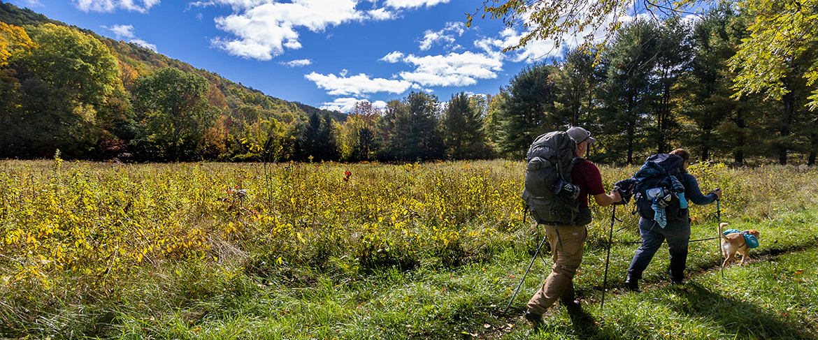
The first one is the Appalachian trail. This is a multi-state trail that runs 2,194 miles from Georgia to Maine. 52 miles of it runs through Connecticut, starting at the New York border and working its way up to Massachusetts. There are campsites along the way, such as Stoney Brook, Silver Hill, Caesar Brook, Pone Swamp Brook, Sharon Mountain, Belter, Limestone Spring, Riga, Brassie Brook, and Sages Ravine. However, if you would like to do the hike — north to south or south to north — you’ll come across landmarks such as Indian Rock, Caleb’s Peak, St. Johns Ledges, Bread Loaf Mountain, Pine Knob, Mt. Easter, Hanger Glide View, Rands View, Billy’s view, Prospect Mountain, Lions Head, Bear Mountain (Connecticut's tallest summit), and many more.
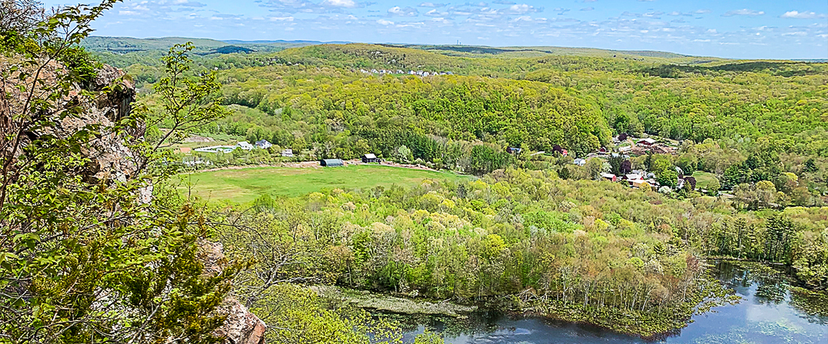
The next two trails (which is known as the “Blue Trail”), Metacomet and Mattabesett, are linked together creating part of the 215-mile New England National Scenic Trail (NET). There are 3 camp sites throughout both trails.
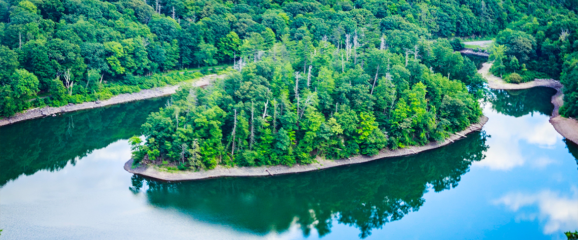
The Metacomet trail traverses 62.7 miles of the Metacomet ridge of central Connecticut that extends to northern Meriden, through Hartford, up to the border of Massachusetts. The Metacomet Ridge, that forms the Metacomet Trail, was formed 200 million years ago during the Jurassic period and is rock that is basalt, which makes the trails more rugged. You’ll come across points of interest such as Castle Craig in Hubbard Park, Heublein Tower, Ragged Mountain, Pinnacle Rock, and Rattlesnake Mountain.
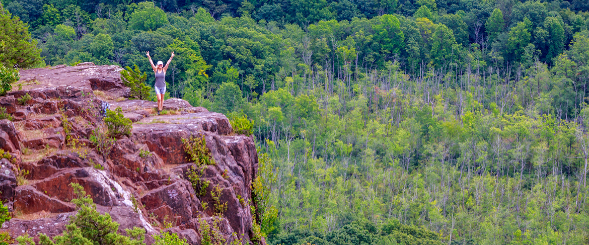
Mattabesset Trail is 62 miles long, one half of the trail follows the Metacomet ridge from Lamentation Mountain (Meriden) to Totoket Mountain (Guilford). The second half of the trail goes from Guilford Northeast to the Connecticut River in Middletown.
You’ll hike mountains made of metamorphic rock that contain stunning lookouts. Some of these features are Lamenation Mountain, Chauncey Peak, Higby Mountain, Besek Mountain, Fowler Mountain, Totoket Mountain, and more.
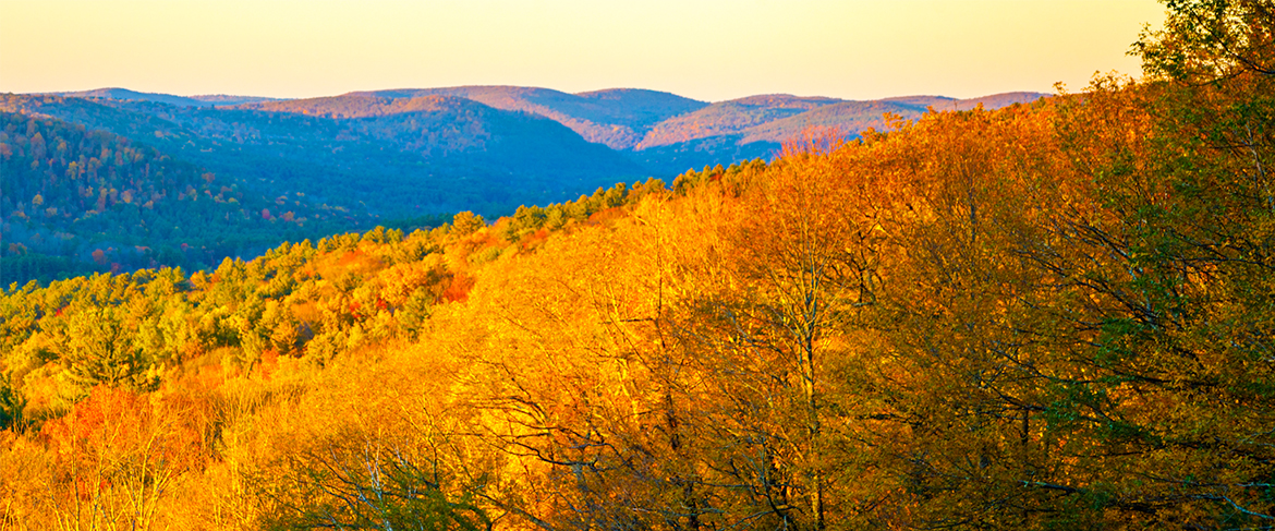
The last trail, on the shorter end, is the 25.2-mile Mohawk Trail. This trail used to be part of the Appalachian Trail before it was diverted in 1988. It runs from Cornwall to the Northern most tip in Falls Village. The trail crosses Mohawk Mountain Housatonic Meadows State Park, and the Mohawk, Wyantenock, and Housatonic State Forests. You'll experience stunning views on Mohawk Mountain, to Red Mountain, Dean Ravine, and more scenic views. There are also 4 camping sites along the trail.
Whether it’s a one-day hike or a multi-day backpacking trip you’re looking for, Connecticut has plenty of options suited from beginners to more experience hikes.
From Talcott Mountain State Park to the Farmington Canal State Park Trail, find more hiking destinations here.
Special Delivery

Connecticut, Delivered Right to Your Fingertips
Share your email address to receive our free newsletter and be the first to see the latest travel deals, attractions and news from CTvisit.com!


